As the wind howled through the trees and branches of various sizes fell all around, I hiked up the side of Green Mountain until I reached the Beaver Pond Trail. Within a few hundred feet, the trail crosses over Grata Creek, a stream running down the northwest side of Green Mountain. Grata Creek has long been on my radar, as it drops rather rapidly from high up on the mountain slopes before emptying into Tahuya Lake.
 |
| Lidar imagery map of Grata Creek. |
Shortly after exiting its source lake Grata Creek meanders through some open pine forest, then less than a quarter mile later, it passes underneath the Beaver Pond Trail bridge, and immediately skips over a series of wonderful cascades over 20 feet in height, right next to the trail and very easily visible.
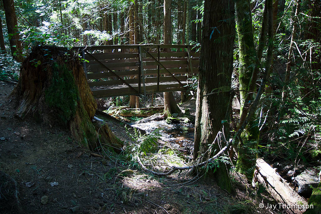 |
| Bridge over Grata Creek |
The cascade begins with a five foot sliding drop over some beautifully dark volcanic rock called Gabbro.
 |
| First tier "Contact Cascades" |
The second tier is a little more complex; two-thirds of the creek pours into a deep crack in the bedrock, while the remaining portion slides gradually down the rock. Here some interesting geology is seen. On the north side of the stream the bedrock is composed of the Gabbro the first tier goes over, but on the south side of the stream the rock is Basalt, which upon close observation, has even formed into small disorganized six-sided columns. In geology, the term used for where two different rock types meet is called a "contact." Thus, since this cascade appears to occur on a contact, I have named it "Contact Cascade."
 |
| Second tier of "Contact Cascades" |
Thanks to the person who suggested this fall to me. It is a great contribution to the survey!
One final thing to note, "Contact Cascade" is my 20th surveyed waterfall! Hard to believe I've made it this far after starting this project a year ago. Who knows, maybe I'll find 20 more!
This comment has been removed by the author.
ReplyDeleteI was the audience member who mentioned these waterfalls to you! I'm glad they were easy to find for you
ReplyDelete